65 Mundy RoadSunbury VIC 3429
Contact agent to arrange an inspection.
Rare Opportunity: Spacious 21-Acre approx. Property with Equestrian Facilities, Accommodation & Investment Potential
Property Details for 65 Mundy Rd, Sunbury
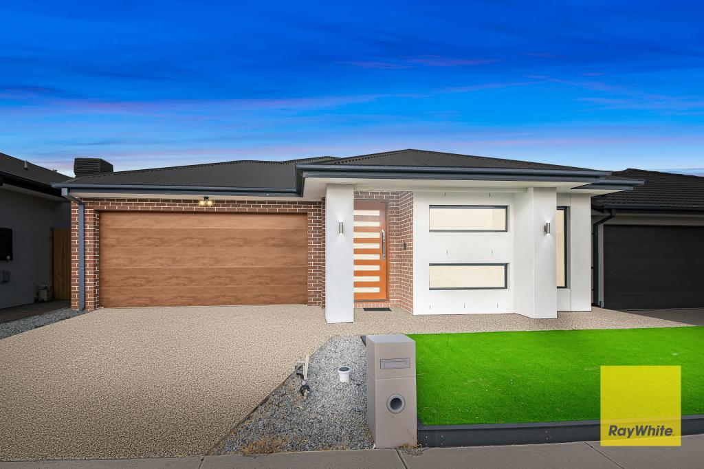
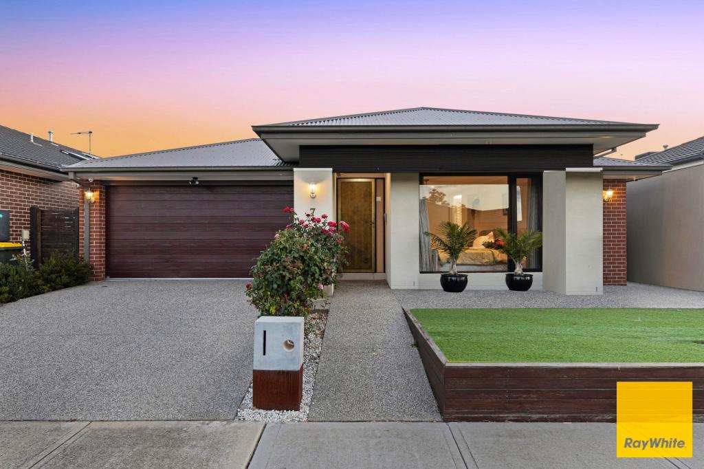
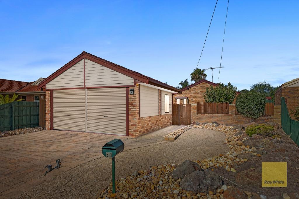
Other properties by this agency


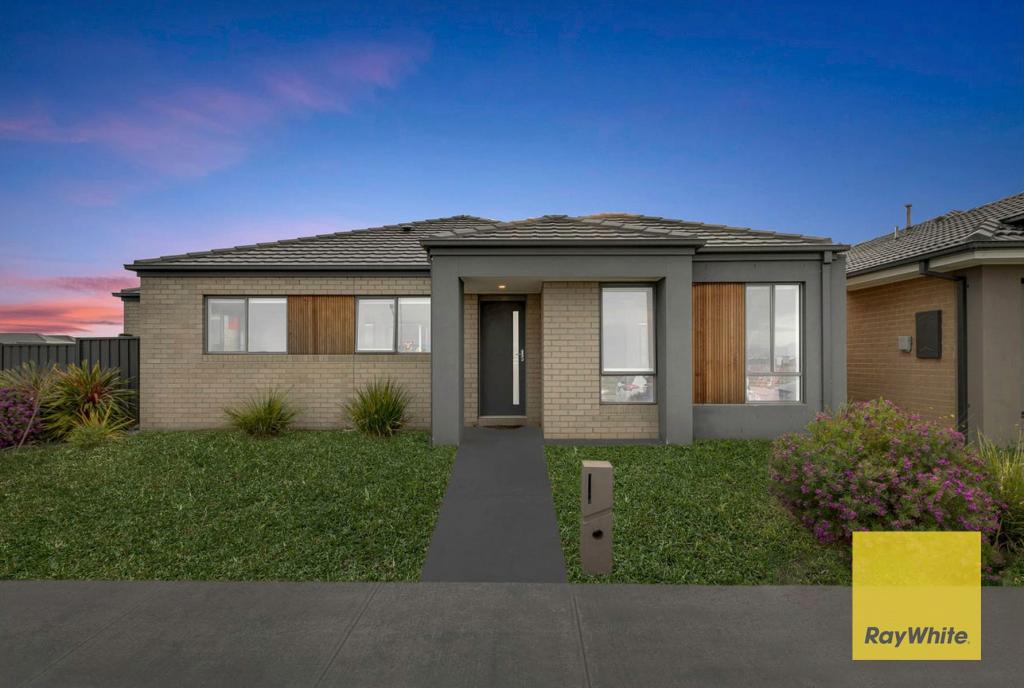
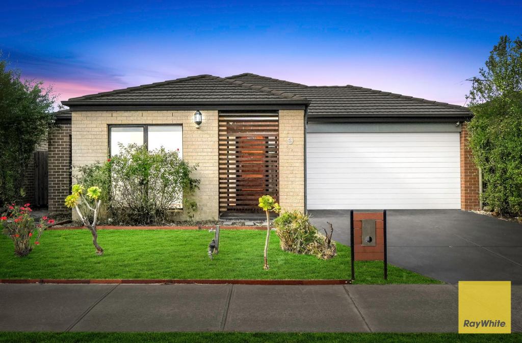
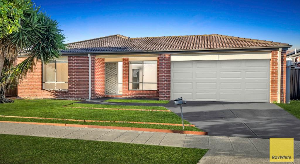
Recent Sales by this agency
About Sunbury 3429
The size of Sunbury is approximately 132 square kilometres. It has 93 parks covering nearly 5.3% of total area. The population of Sunbury in 2011 was 34,030 people. By 2016 the population was 36,073 showing a population growth of 6.0% in the area during that time. The predominant age group in Sunbury is 40-49 years. Households in Sunbury are primarily couples with children and are likely to be repaying $1400 - $1799 per month on mortgage repayments. In general, people in Sunbury work in a trades occupation. In 2011, 79.2% of the homes in Sunbury were owner-occupied compared with 76.5% in 2016.
Sunbury has 23,066 properties. Over the last 5 years, Houses in Sunbury have seen a 21.18% increase in median value, while Units have seen a 16.27% increase. As at 31 January 2025:
- The median value for Houses in Sunbury is $690,430 while the median value for Units is $490,421.
- Houses have a median rent of $520 while Units have a median rent of $430.
What's around 65 Mundy Rd, Sunbury
65 Mundy Rd, Sunbury is in the school catchment zone for Killara Primary School and Sunbury Downs Secondary College.


Suburb Insights for Sunbury 3429
Market Insights
Sunbury Trends for Houses
$690k
-0.66%
View Trend$520/W
4.08%
Sunbury Trends for Units
$490k
4.24%
View Trend$430/W
4.85%
Neighbourhood Insights
Age
Population 36,073
0-9
13%
10-19
13%
20-29
13%
30-39
13%
40-49
15%
50-59
14%
60-69
10%
70-79
5%
80-89
3%
90-99
1%
Household Structure
Occupancy
© Copyright 2025 RP Data Pty Ltd trading as CoreLogic Asia Pacific (CoreLogic). All rights reserved.
This product uses cookies and other similar technologies to improve and customise your browsing experience, to tailor content and adverts, and for analytics and metrics regarding visitor usage on this product and other media. We may share cookie and analytics information with third parties for the purposes of advertising. By continuing to use our website, you consent to cookies being used. View our Privacy Policy here.
X