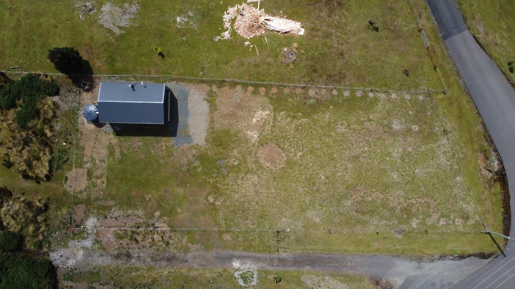
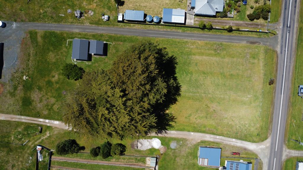
6 English StreetWaratah TAS 7321

Thinking about insurance?
Get estimated rebuild costs for this property with Sum SureProperty Details for 6 English St, Waratah
6 English St, Waratah is a 0 bedroom, 0 bathroom House and was built in 1980. The property has a land size of 681m2 and floor size of 106m2. While the property is not currently for sale or for rent, it was last sold in January 2009.
Last Listing description (January 2009)
STUNNING HOME
IMMACULATE PRESENTATION BY FASTIDIOUS OWNERS PLUS QUALITY IMPROVEMENTS THROUGHOUT RESULT IN A SENSATIONAL AFFORDABLE HOME ALL WOULD BE PROUD TO OWN. SPARKLING NEW SUNNY KITCHEN FITTED WITH QUALITY SIMPSON OVEN, HOT PLATES AND DISHWASHER, DREAM BATHROOM COMPLETE WITH SPA BATH AND DUAL BASIN VANITY, QUALITY COLOR COORDINATED CARPETS AND DRAPES THROUGHOUT, DUCTED ELECTRIC CENTRAL HEATING, CENTRAL VACUUM SYSTEM, BUILT-INS IN BEDROOMS SPACIOUS SUNNY LIVING AREAS, PLUS USEFUL TAS OAK LINED UTILITY ROOM. OUTSIDE TO FULLY FENCED, MANICURED LEVEL LAWNS AND GARDENS PLUS SEPERATE 7M X 5M COLOURBOND GARAGE. SUPERIOR LOCATION OPPOSITE THE PRISTINE WARATAH WATERS AND PARK LANDS WARATAH. WARATAH IS A PICTURESQUE AND HISTORIC VILLAGE ON THE RUGGED NORTH WEST COAST... IT HAS IT ALL; TROUT STOCKED LAKES AND A SPECTACULAR WATERFALL CASCADING INTO HAPPY VALLEY, AN OLD ENGLISH STYLE PUB AND A LOCAL SCHOOL AND SHOP. TIDY TOWN OF TASMANIA WINNER AND IS LOCATED JUST 35 MINUTES FROM THE CITY OF BURNIE. WARATAH WILL CHANGE YOUR LIFE FOREVER.
Property History for 6 English St, Waratah, TAS 7321
- 20 Jan 2009Sold for $165,000
- 06 Nov 2008Listed for Sale $169,000
- 03 Nov 2004Sold for $100,000
Similar properties For Sale nearby
See more properties for sale nearby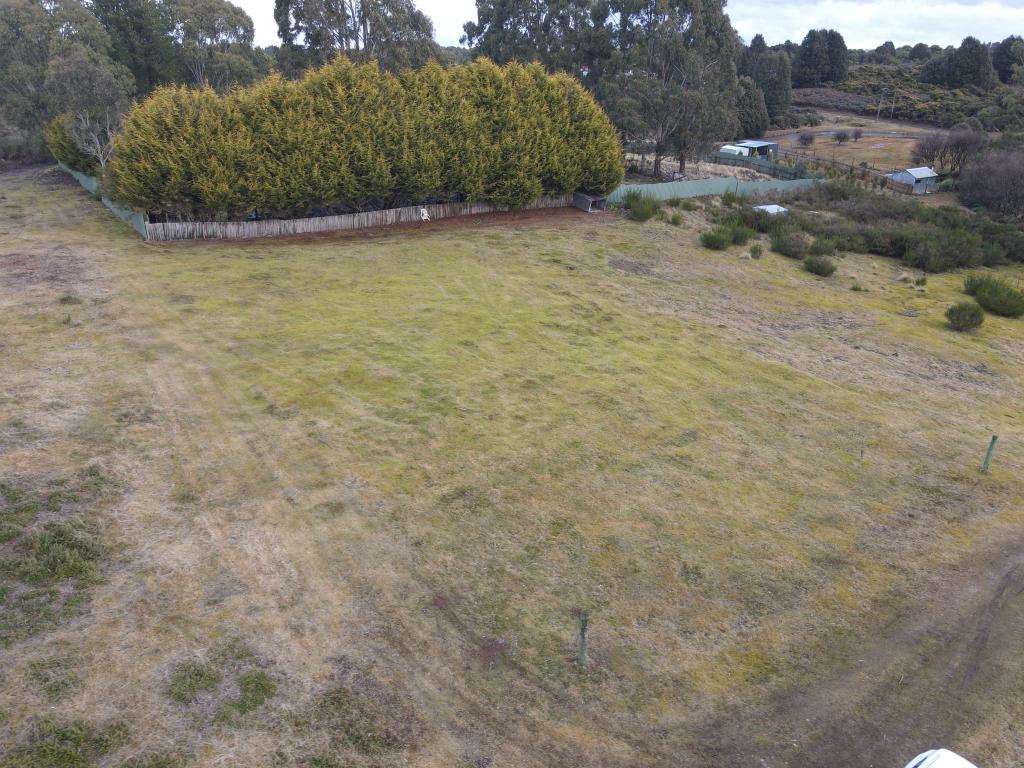
About Waratah 7321
The size of Waratah is approximately 120.3 square kilometres. It has 4 parks covering nearly 15.3% of total area. The population of Waratah in 2011 was 300 people. By 2016 the population was 235 showing a population decline of 21.7% in the area during that time. The predominant age group in Waratah is 60-69 years. Households in Waratah are primarily childless couples and are likely to be repaying under $300 per month on mortgage repayments. In general, people in Waratah work in a labourer occupation. In 2011, 78.9% of the homes in Waratah were owner-occupied compared with 81.7% in 2016.
Waratah has 431 properties. Over the last 5 years, Houses in Waratah have seen a 74.84% increase in median value, while Units have seen a 202.94% increase. As at 31 January 2025:
- The median value for Houses in Waratah is $247,995 while the median value for Units is $300,878.
What's around 6 English St, Waratah


Suburb Insights for Waratah 7321
Market Insights
Waratah Trends for Houses
$248k
-2.27%
View TrendN/A
N/A
Waratah Trends for Units
$301k
94.97%
View TrendN/A
4.70%
Neighbourhood Insights
Age
Population 235
0-9
4%
10-19
14%
20-29
2%
30-39
11%
40-49
13%
50-59
20%
60-69
20%
70-79
11%
80-89
1%
Household Structure
Occupancy
© Copyright 2025 RP Data Pty Ltd trading as CoreLogic Asia Pacific (CoreLogic). All rights reserved.
(a) give no warranty regarding the data's accuracy, completeness, currency or suitability for any particular purpose; and
(b) do not accept liability howsoever arising, including but not limited to negligence for any loss resulting from the use of or reliance upon the data.
Base data from the LIST © State of Tasmania http://www.thelist.tas.gov.au.
This product uses cookies and other similar technologies to improve and customise your browsing experience, to tailor content and adverts, and for analytics and metrics regarding visitor usage on this product and other media. We may share cookie and analytics information with third parties for the purposes of advertising. By continuing to use our website, you consent to cookies being used. View our Privacy Policy here.
X