1 Charles TerraceWallaroo SA 5556

Property Details for 1 Charles Tce, Wallaroo
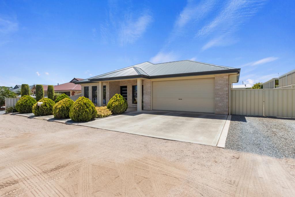
1 Charles Tce, Wallaroo is a 3 bedroom, 1 bathroom House with 6 parking spaces. The property has a land size of 1242m2. While the property is not currently for sale or for rent, it was last sold in December 2024. There are 56 other 3 bedroom Houses sold in Wallaroo in the last 12 months.
Last Listing description (December 2024)
But dont forget about the size of the block! It's a whopping 1242m2 approximately, corner allotment large enough to subdivide or build multiple homes subject to the normal approvals.
The home was built in 1964, is a solid brick home with three bedrooms + a sleepout, there is a formal lounge with large window to take in the scenery then a formal lounge just off of the galley style kitchen. The home has recently undergone a face lift with new carpet, fresh paint throughout and some tidy up of the yards. If you've seen it before, you will want to come back for another viewing.
The bathroom still has the 60's decor and the laundry is accessed from the back porch.
Legals ; Volume 5706 Folio 344, Allotment 2, Deposited Plan 79, In the Hundred of Wallaroo For further information call the sales agent David Bussenschutt on 0429 692 511.
Property History for 1 Charles Tce, Wallaroo, SA 5556
- 17 Jan 2025Sold for $550,000
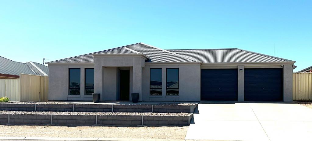
Recent sales nearby
See more recent sales nearbySimilar properties For Sale nearby
See more properties for sale nearby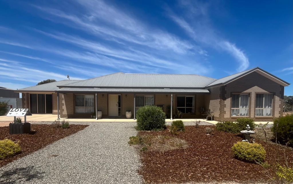
About Wallaroo 5556
The size of Wallaroo is approximately 48.2 square kilometres. It has 30 parks covering nearly 2.6% of total area. The population of Wallaroo in 2011 was 3,225 people. By 2016 the population was 3,462 showing a population growth of 7.3% in the area during that time. The predominant age group in Wallaroo is 60-69 years. Households in Wallaroo are primarily childless couples and are likely to be repaying $1000 - $1399 per month on mortgage repayments. In general, people in Wallaroo work in a labourer occupation. In 2011, 64.3% of the homes in Wallaroo were owner-occupied compared with 61.3% in 2016.
Wallaroo has 3,533 properties. Over the last 5 years, Houses in Wallaroo have seen a 100.25% increase in median value, while Units have seen a 82.48% increase. As at 28 February 2025:
- The median value for Houses in Wallaroo is $467,976 while the median value for Units is $407,424.
- Houses have a median rent of $383 while Units have a median rent of $200.
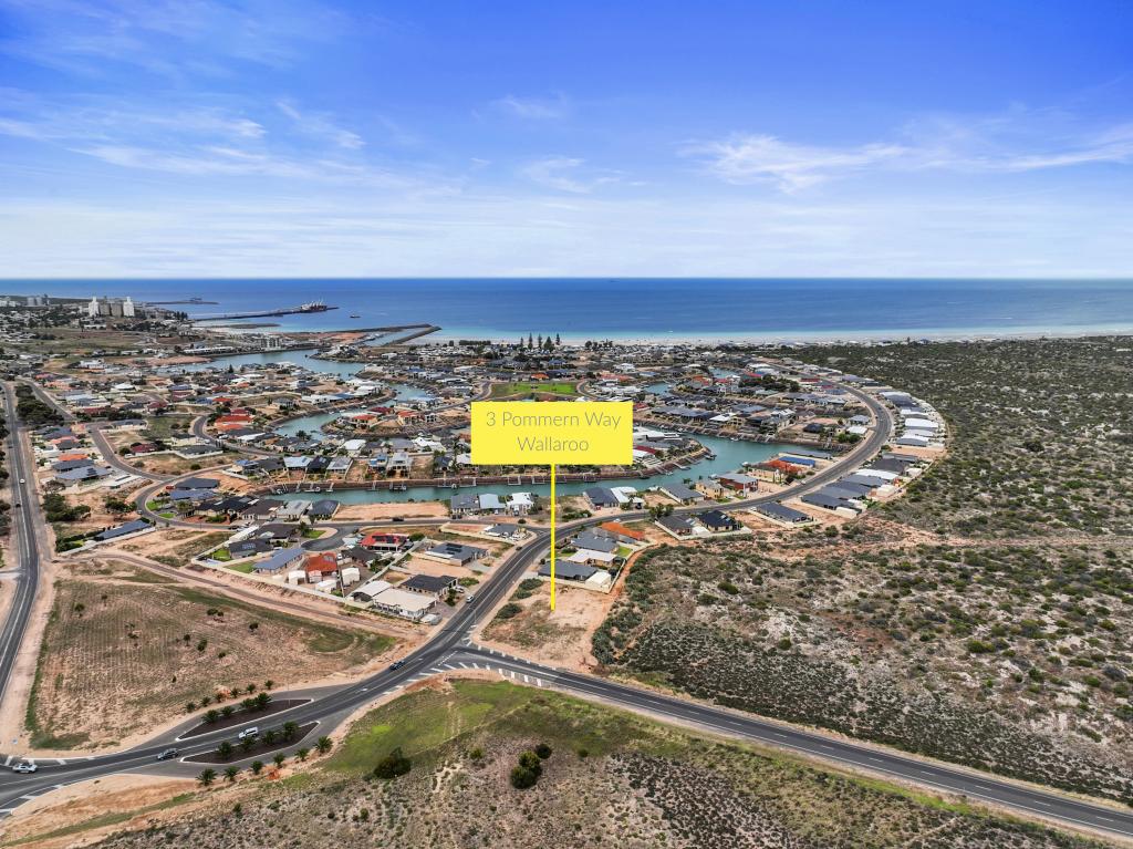
What's around 1 Charles Tce, Wallaroo


Suburb Insights for Wallaroo 5556
Market Insights
Wallaroo Trends for Houses
$468k
18.13%
View Trend$382.5/W
4.54%
Wallaroo Trends for Units
$407k
2.06%
View TrendN/A
4.03%
Neighbourhood Insights
Age
Population 3,462
0-9
9%
10-19
9%
20-29
8%
30-39
9%
40-49
10%
50-59
16%
60-69
19%
70-79
14%
80-89
5%
90-99
1%
Household Structure
Occupancy
© Copyright 2025 RP Data Pty Ltd trading as CoreLogic Asia Pacific (CoreLogic). All rights reserved.
This product uses cookies and other similar technologies to improve and customise your browsing experience, to tailor content and adverts, and for analytics and metrics regarding visitor usage on this product and other media. We may share cookie and analytics information with third parties for the purposes of advertising. By continuing to use our website, you consent to cookies being used. View our Privacy Policy here.
X